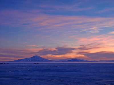
 Mount
Discovery and Minna Bluff
Antarctic
Regions - Maps and Pictures
Regional maps of Antarctica with photographs of the area.
Geography - map skills
Teacher file, maps + worksheet + answers
word document |
pdf document
A high resolution zoomable map of Antarctica
here
Another zoomable Antarctic map, not quite so high
resolution but more visible features
here
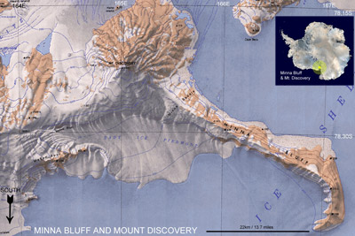
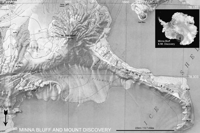
Mount Discovery is an extinct volcano 2,681 metres (8,796 ft) high situated at 78°22'S 165°01'E, at the head of McMurdo Sound overlooking the Ross Ice Shelf. Minna Bluff forms a long narrow arm reaching into the Ross Ice Shelf extending from Mount Discovery, it ends in a large south pointing hook shape, Minna Hook.
Mount Discovery was discovered by Captain Scott's British National Antarctic Expedition, 1901-04, and named after their expedition ship the Discovery. Originally known simply as "The Bluff" the name Minna Bluff was given by Captain Scoot after the wife of Sir Clements Markham, one time president of the Royal Geographical Society and a strong supporter of the expedition.
Source of the Maps
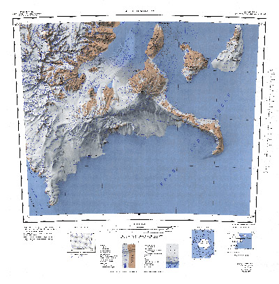
Topographic Reconnaissance maps of Antarctica. Originally published at 1:250,000-scale by the U.S. Geological Survey in cooperation with the National Science Foundation.
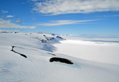
Picture credits: Minna Bluff by Kelly Speelman - NSF / Fata morgana by Jack Green - NSF / Mount Discovery, Brown Peninsula and Mount Discovery and Scott Base by Alan Light

